Who we are
A specialist team
for lost dogs
Our story
Built on
surveillance
experience
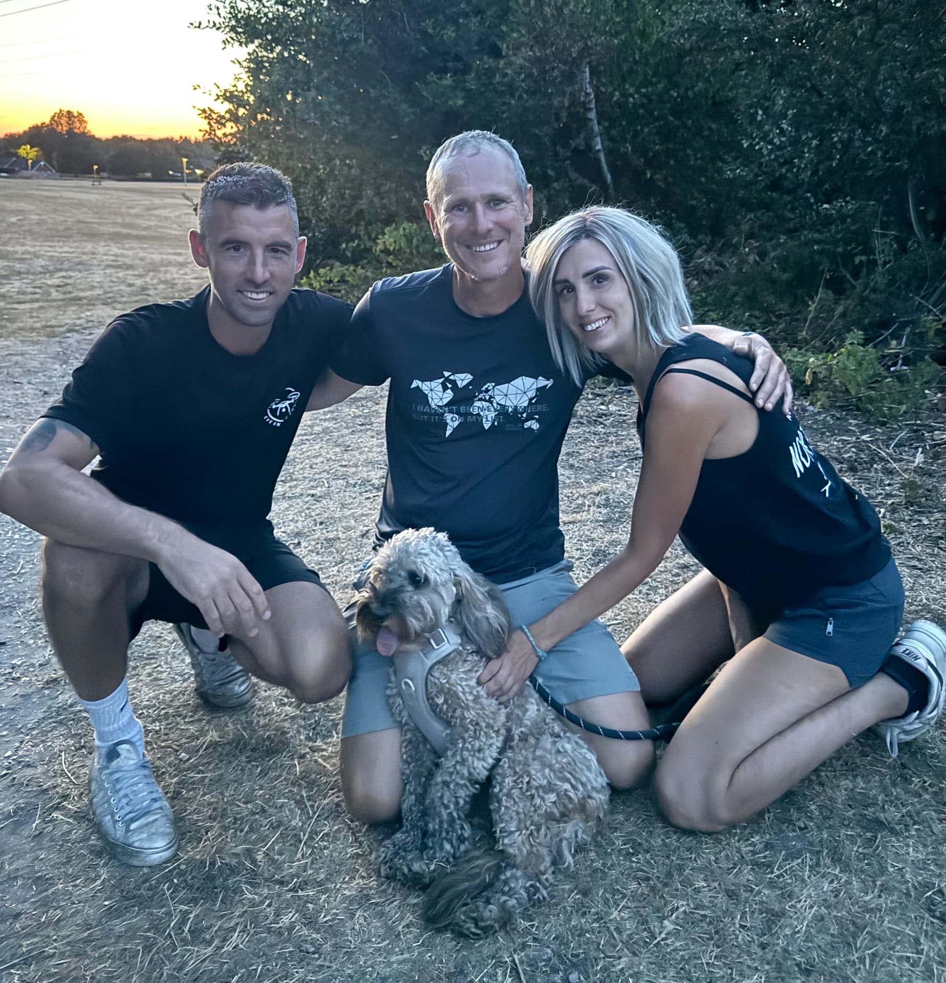
Eye In The Sky was founded by Dave Rimmer, who spent eight years in HM Forces in a specialist surveillance and reconnaissance role — using technology, observation and intelligence gathering to locate and track people and activity in challenging environments.
Those same principles now shape how we search for missing dogs: assess the risk, map the ground, work the plan methodically and keep the owner informed at every stage.
Based in Dorset, we work across the South and provide nationwide remote support by phone and email, offering structured guidance, search strategy advice and practical next steps.
What we stand for
Rapid
Time is the single biggest factor in getting a dog home. We move fast.
Methodical
Every search is planned, mapped and recorded — never guesswork.
Not-for-profit
Volunteer-powered. Every penny goes back into kit and training.
On the ground
How we search
Every deployment follows the same discipline. Nothing is left to chance and nothing is searched twice without reason.
Method
Planned, mapped, recorded
We do not guess. Every sector is assigned, every sweep is logged and every decision is traceable — so the next team starts ahead, not from scratch.
The process
Five stages to a search
Initial response
The call comes in and we triage immediately: how long the dog has been missing, its temperament, the terrain, nearby roads, railway lines and water. That first conversation decides whether we deploy, advise remotely or stand by.
Assessment and mapping
We plot the last confirmed sighting, then build a probability map around it — scent lines, wind direction, natural funnels, fence lines, footpaths and likely bolt-holes. The ground is divided into numbered sectors so every team knows exactly what they own.
Aerial and ground search
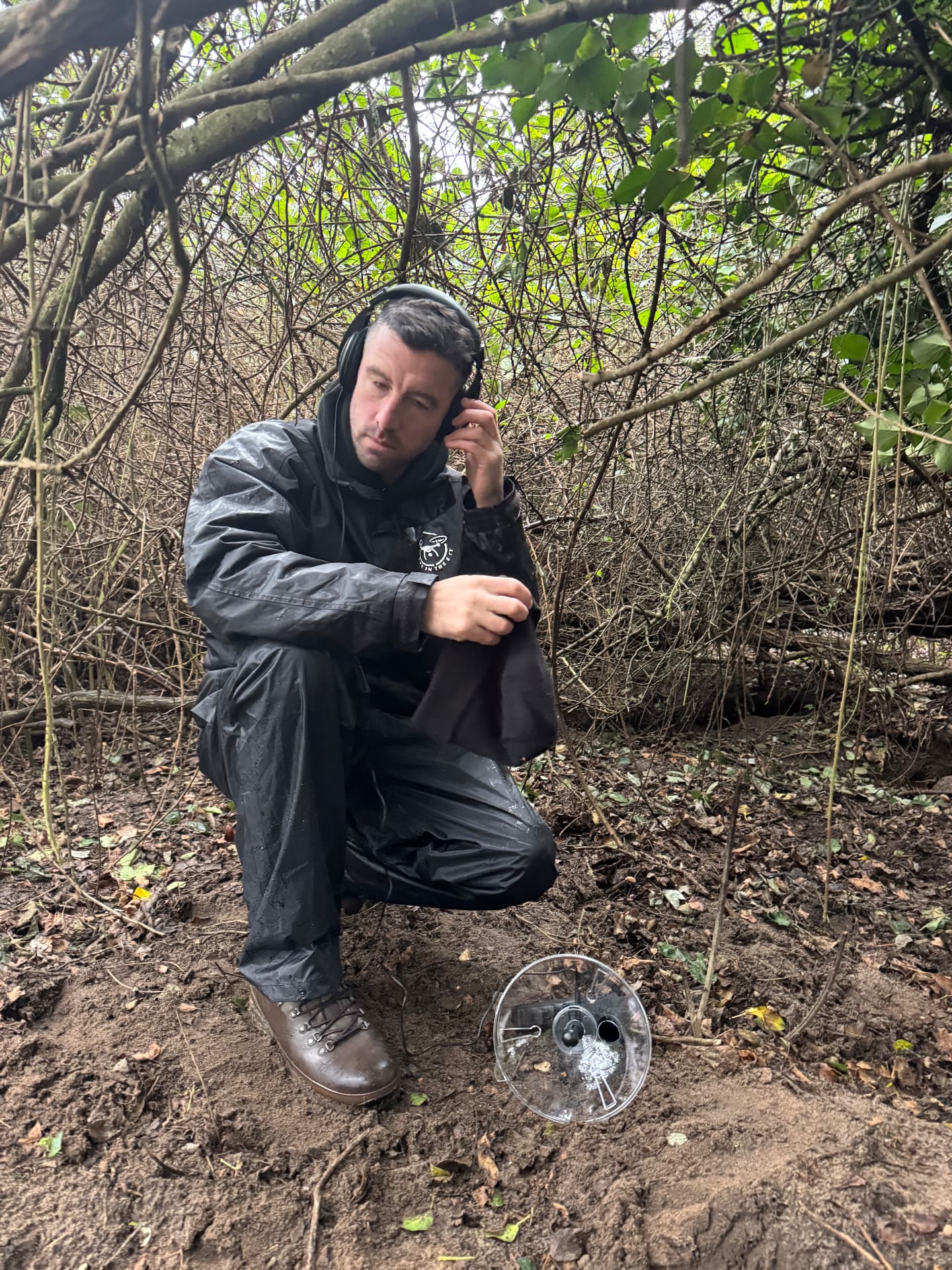
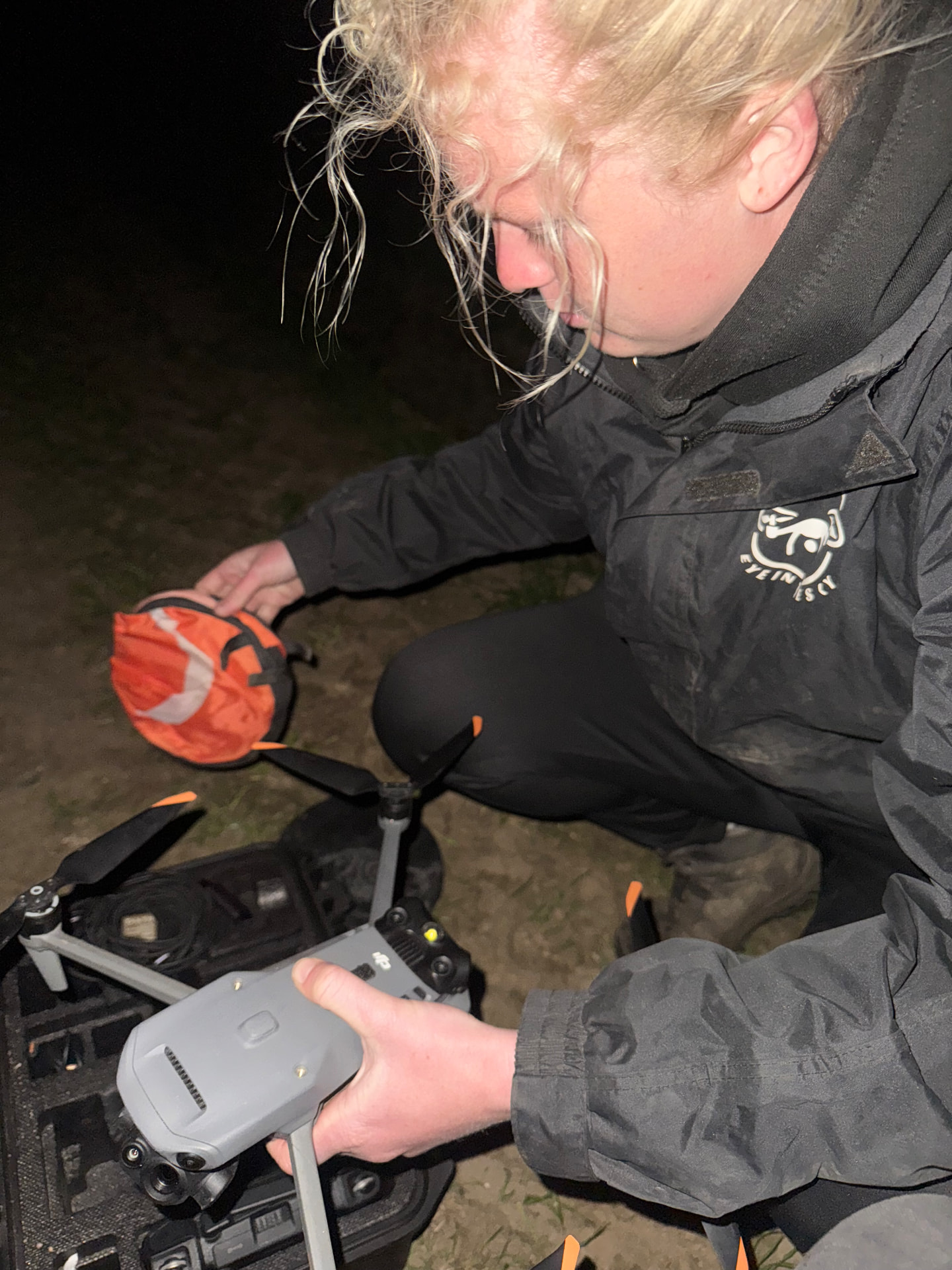
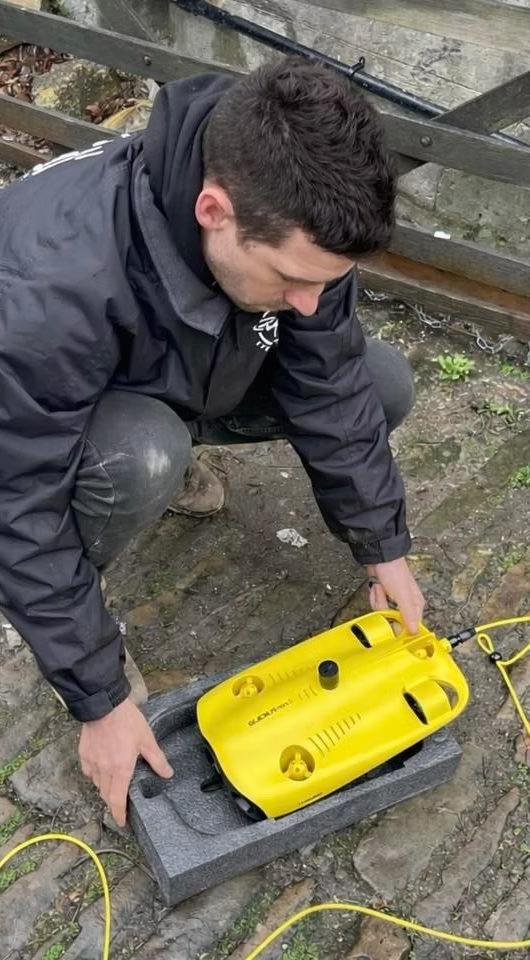
Thermal drones fly the sectors at first and last light when heat contrast is strongest, working a structured grid rather than a random sweep. Ground teams follow up every heat signature on foot, with submersible drones used for water searches. Feeding stations and trail cameras go in where a dog is in survival mode.
Containment and recovery
Once we have a pattern of sightings we stop chasing and start containing: quiet zones, scent items from home, humane traps and a single familiar handler. Neighbours, drivers and local groups are briefed so nobody accidentally pushes the dog further out.
Handover and debrief
The owner gets a full picture of what was covered, what was ruled out and what to do next. Where a dog is still missing, the search plan is handed on so the next team starts ahead, not from scratch.
Terrain
Coast, farmland, forest — wherever the trail leads
Cliff paths, tidal estuaries, arable fields in full crop, dense woodland and urban edges each change how a dog moves and how we search. We plan for the ground in front of us, in all weather, seven days a week.